Visit Bressay Short Videos
Bressay Lighthouse
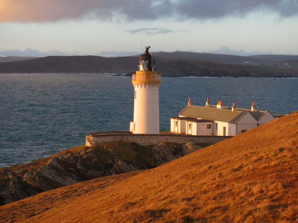
Situated on a rocky headland at the south entrance to Lerwick Harbour, Bressay Lighthouse is an iconic image for any visitor to the isles. Built in 1858, to this day passing the ‘Bressa Light’ is the starting and finishing point for any journey to or from Shetland by sea and is a landmark for locals and visitors alike.
The Bard
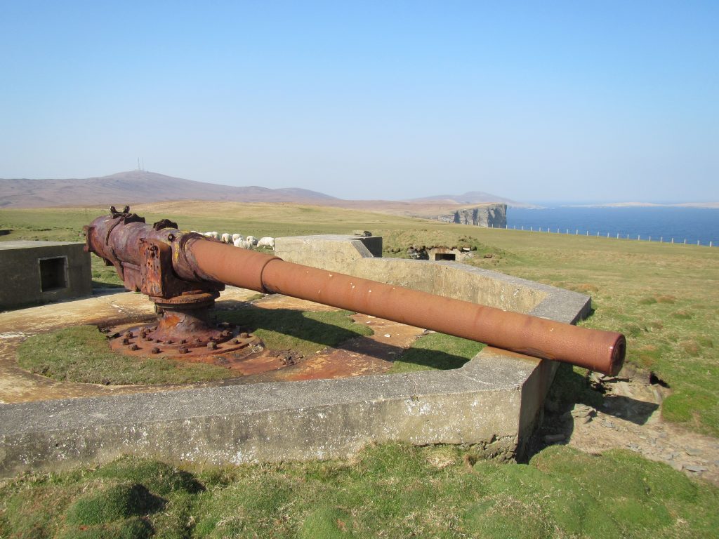
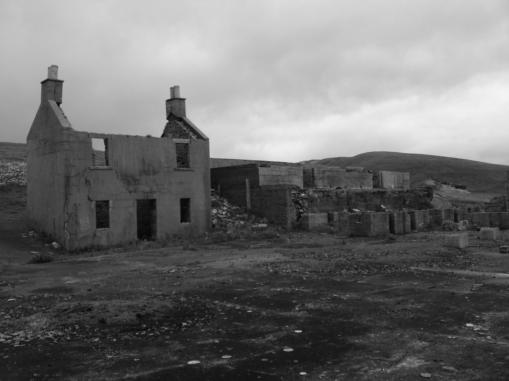
A walk to the Bard, the southernmost point of the island of Bressay, starts at the Bressay Lighthouse. From here, on foot, we pass the sandstone quarries of the Ord, through the medieval deserted crofting settlement of the Veng (Old Norse for meadow) and onto the Bard headland, culminating at the Great War naval gun, accommodation block and ammunition store. An optional addition is to continue north from this point to the inland loch of Sand Vatn, the Viking settlement remains at Stobister and the Press Gang hideouts and early ecclesiastical structures adjacent to Stoura Clett.
Aith
The northernmost point of the island of Bressay takes in spectacular coastal scenery. An abandoned fishing station, nineteenth century sandstone quarries, a broch, Viking remains and a magnificent Great War naval gun and ammunition store.
Wadbister and Grimsetter
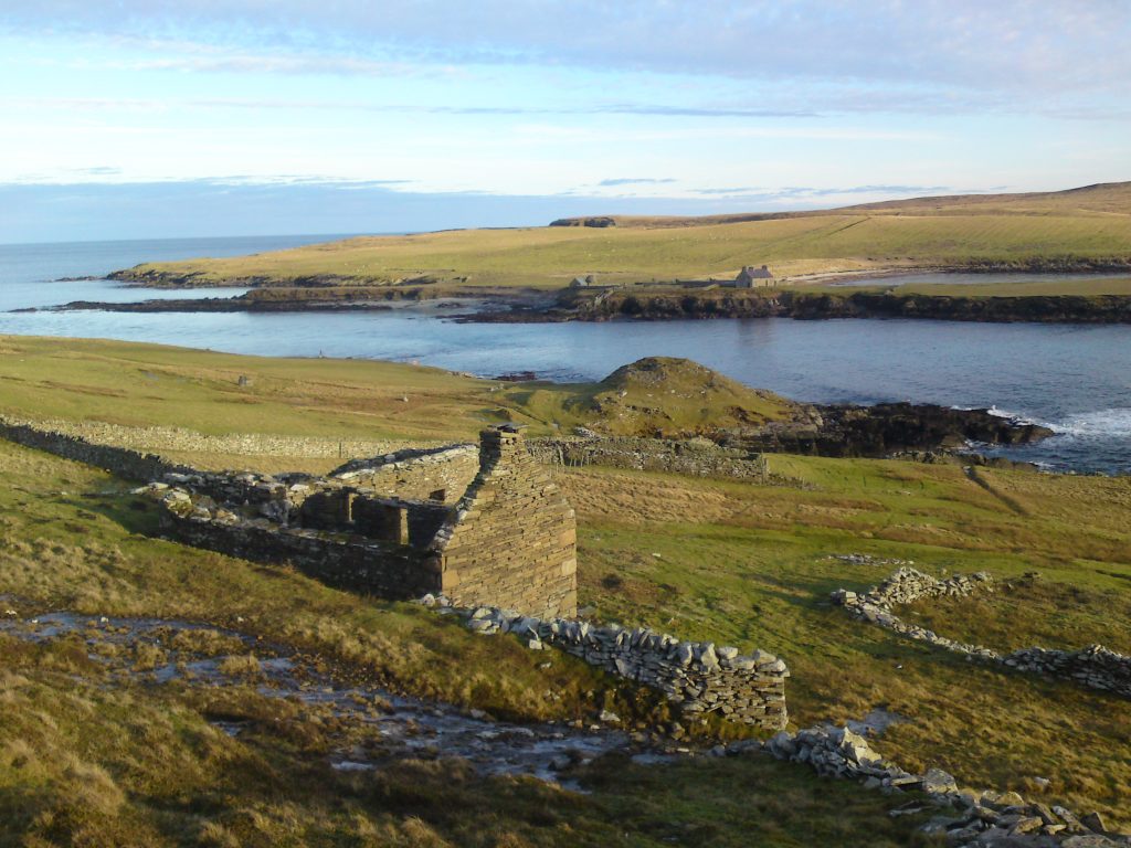
The majority of settlement in the island of Bressay flanks the west coast, reflecting the magnetic pull of Lerwick over the past four centuries. A stimulating contrast is the quieter east side of Bressay including the historic settlements of Wadbister and Grimsetter. Now deserted, these crofting townships overlooking the Grimsetter Loch paint a vivid picture of post-medieval subsistence agriculture in a picturesque landscape.
Noss Sound
A tapestry of over four thousand years of visible human history within the beautiful environs of a National Nature Reserve. The island of Noss is open from May-August; spectacular seabird colonies, moorland, vernacular architecture, flora and fauna. The adjacent landscape includes the well-preserved remains of an Iron Age broch, Viking longhouse and post-medieval ruinous crofting remains.
Culliesbrough
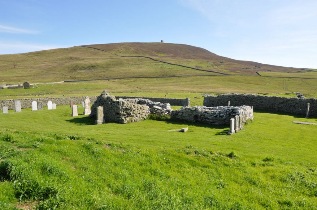
This sheltered bay, rich fishing grounds and good quality land have attracted people to live at Culliesbrough for thousands of years. The remains of the deserted structures are preserved within the landscape and span a Bronze Age burnt mound, Iron Age broch, Pictish symbol stone, Viking/Norse structures, an early Christian chapel and graveyard and post-medieval domestic residences.
Ward Hill
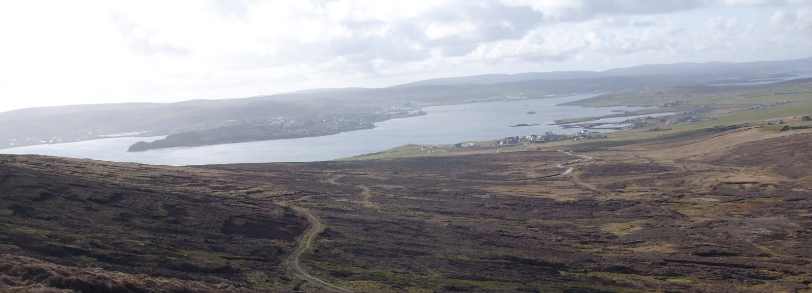
The highest point on the island of Bressay at 227m with spectacular panoramic views across Shetland, from the South Mainland to Unst and across Bressay Sound to Lerwick and beyond as far as the Atlantic island of Foula. The wild and exposed moorland surrounds us, with adjacent peat banks illustrating where generations of islanders cut winter fuel. A track to the summit was created in the 1960s during the installation of the radio communication masts.


